Butlletí Oficial de la Província de Barcelona · 27 Oct 2026 · 4 vistas
Sant Adrià approves the plan for plot E and suspends licenses
Por FactBox Admin
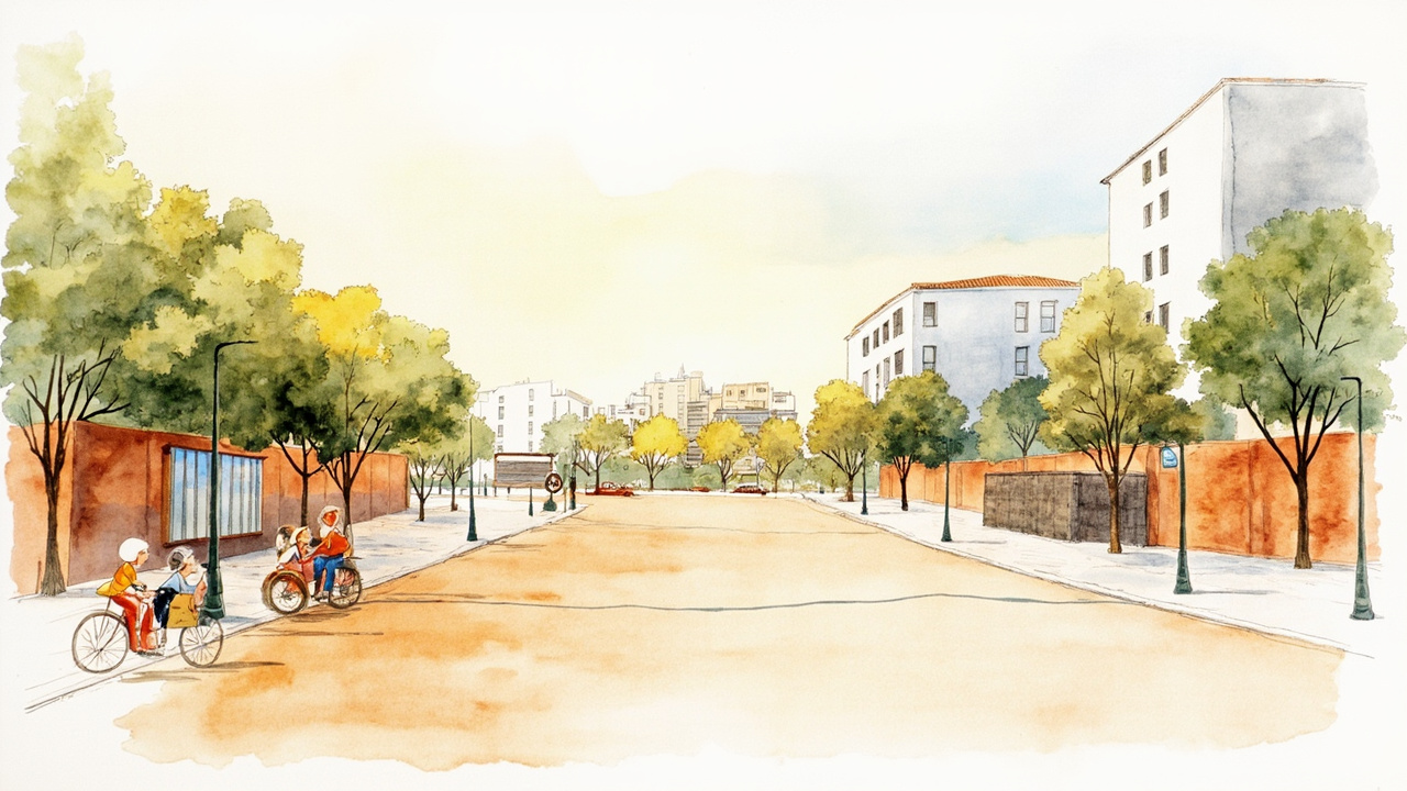
The Sant Adrià de Besòs City Council has initially approved the Special Urban Plan for the specification of the layout and uses of plot E, located in the La Catalana sector, and has suspended for one year the granting and processing of licenses and prior notifications within the area. The decision was adopted by the mayor via Decree on October 15, 2026, and is published in the October 27, 2026 edition of the Official Gazette of the Province of Barcelona (CVE 202610156603), signed by the delegated councillor for Sustainable Territory, Environment and Animal Welfare, José Antonio Gras Iñigo.
The planning is now subject to public consultation for a period of one month, via a notice in the gazette, publication in one of the most widely circulated periodic press newspapers in the municipal area, on the notice board, and on the municipal website. File number 8062/2026 can be examined on the City Council website and remains available to any interested person at the Territory Service, on the fourth floor of the town hall building, from Monday to Friday from 9 am to 1 pm. The decree also requests a report from the organizations affected by reason of their sectoral competencies.
A public facility in a neighborhood that has tripled its population
Plot E is a publicly owned estate of 17,519.84 m², with cadastral reference 5460102DF3856A0001DT, which the City Council obtained through free transfer as a result of the Reparceling Project of the La Catalana Sector, definitively approved by the Besòs Consortium on April 21, 2006. It is classified as consolidated urban land with key 7.b, a system of newly created community facility reserves of local scope, and is currently free of buildings, with the urbanization of the surroundings completed.
The justification for the plan is demographic: according to data from the City Council’s Statistics and Census Office, the La Catalana neighborhood has gone from 721 inhabitants in 2014 to 2,569 inhabitants in 2024, meaning it has multiplied its population 3.5 times in ten years. The council wants the land available to implement new facilities that cover the needs of a newly created neighborhood that lacks nearby facilities. The promotion is a public initiative and the drafting of the document corresponds to Núria Oliver - Fabiana Palmero, architects.
One-year suspension of licenses and prior notifications
The fourth point of the decree suspends the granting and processing of:
- Licenses and prior communications for construction, renovation, rehabilitation, or demolition linked to the implementation of new activities on plot E.
- Licenses for the change of use of buildings and facilities when new activities are established in a pre-existing building intended for different uses.
- Any municipal activity intervention procedure, including prior communication, and other related authorizations provided for by sectoral legislation.
The scope is identified in the delimitation map included in file number 2026/784, which can be consulted on the municipal website and at the Territory Service in accordance with article 102 of Decree 305/2006, of July 18, which approves the Regulation of the Urban Planning Law. The effects of the suspension will last one year from the date of publication in the bulletin.
Height of 16 meters, 40 percent occupancy, and minimum flood level
The plan’s regulations set the planning and construction conditions for the facility:
- Planning type: isolated building aligned with the road.
- Maximum regulatory height of 16 meters, extendable up to 17 meters when justified by the characteristics and purposes of the facility.
- Maximum length of 55 meters for the building aligned with the street of Pessebre Vivent and maximum occupancy of 40 percent.
- Minimum separations of 6 meters between buildings on floors G+1 and G+2, and 10 meters on G+3 and G+4; 4 and 8 meters with respect to plot boundaries.
- Ground floor located above level 7.80 and a minimum of G+1, with parking accesses and ventilation above this level.
Regarding uses, those provided for in article 212 of the General Metropolitan Plan for community facilities are permitted, with two exceptions: transport use is only permitted on floors below ground level, and supply, environmental services, funeral, and cemetery uses are not permitted. Linked public activities and services, managed directly or under an administrative concession regime, are permitted. The plan incorporates a Flood Study signed by Miguel Àngel Gago Lara which concludes that, with the measures adopted, the risk for a flood with a 500-year return period is completely eliminated and the impact on third parties remains below 10 centimeters.
Impact on the neighborhood
The processing opens a one-month period for consultation and allegations that will decide the future of the facilities in La Catalana, one of the most intense growth sectors of Sant Adrià de Besòs, while the suspension freezes any new use or activity on the plot for one year. The document also arrives with the endorsement of a flood study which, according to the city council, allows building in an area partially included in a police zone and flood zone for a 500-year return period.
Source: Official Gazette of the Province of Barcelona, issue of October 27, 2026, Local Administration, pp. 1-8 (official reference: CVE 202610156603).