Boletín Oficial de Navarra · 22 Oct 2026 · 6 vistas
Navarra renews its public forest catalog for the first time in a century
Por FactBox Admin
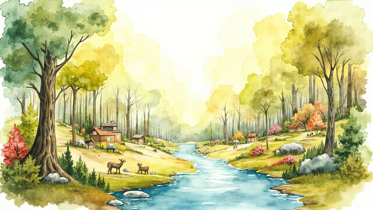
The Government of Navarra has updated the Catalog of Forests of Public Utility for the first time in over a century through Foral Decree 64/2026, of September 30, published in the Official Gazette of Navarra number 211, on October 22, 2026. The regulation removes 7 forests from the catalog, adds 21 new ones, modifies 304, and approves the cartographic description of the historical catalog of 1912. It will enter into force the day following its publication, that is, October 23.
The catalog in force until now originated from the supplement published in the Official Gazette of Navarra on June 3, 1912, consisting of 679 forests with a total area of 346,025 hectares, and later endorsed in the Gaceta de Madrid number 179/1915, annex 2. The text notes that this was Spain’s first natural space protection initiative and that Navarra’s Natura 2000 Network is largely based on cataloged forests.
During the 20th century, there were two revision attempts that were not applied in Navarra: the Ministerial Order of April 24, 1931, which revised the catalogs of 16 provinces, and the Order of May 31, 1966, which rectified those of 26 provinces between 1967 and 1985. The foral framework is completed by Foral Law 13/1990, on the Protection and Development of the Forest Heritage of Navarra, Foral Decree 59/1992, which approved the Forest Regulations, and Foral Order 926/1996, regarding the first Inventory of Natural Spaces, Habitats, and Forests of Public Utility.
Which forests are included and which are removed
The decree incorporates the updated catalog as Annex I, with a list reaching number 700 in which each forest is listed with its area, name, ownership, municipality, and history. The new catalogings are identified with the label “Created” and include, among others, Sabaiza (3,411.85 hectares, assigned to the Forest Heritage of Navarra in Ezprogui), Sengáriz, La Planilla, and a series of forests from the Egüés Valley such as Malkaitz and Tangorri, Alkaitz and Tangorri, Akerregi, Erbaluz, and Lertxundi.
- Decataloged: 7 forests, as the reasons for their inclusion have disappeared.
- New catalogings: 21 forests.
- Forests modified relative to their original declaration: 304, justified individually in the files of Annex II.
- Other figures: “Segregated” forests appear, such as Sorogain, Erdizaga, El Fayar, and Ekaiza.
Cartography and Natura 2000 Network
The second axis of the decree is the approval of the cartographic description of the 1912 catalog, included in Annex II along with the descriptive files. Until now, the catalog detailed the list of forests, their areas, and the literal description of boundaries, but lacked a consultable cartographic layer, which hindered its use.
The statement of motives emphasizes that the update allows for the adjustment of boundaries and the correction of errors and inaccuracies derived from technical resources from over 110 years ago. The work has been developed over the last decade and culminates in this foral decree, which affects city councils, local councils, and local entities that own the forests, as well as forest owners.
Tweaks to the Forestry Regulations
The regulation modifies four precepts of the Regulations approved by Foral Decree 59/1992 to simplify the maintenance of the catalog and protect traditional management:
- Article 18: rectifications that do not affect the rights of third parties shall be made by foral order of the department competent in the environment and shall be published in the corporate geographic viewer.
- Article 41.8: the designation of natural evolution areas shall also be made by foral order.
- Article 77.7: management projects and their revisions shall be approved by resolution of the general directorate with forestry competencies.
- Article 81.4: when there is a timber right (vuelo arbolado) that the owning local entity recognizes to a third party, the forestry authorization for cutting may be processed for that third party in accordance with Article 82.
Protective Forests
Article 3 declares as protective forests the lands included in Annex III, in accordance with the procedure of Article 4 of Foral Decree 322/1997, which created the Catalog of Protective Forests of Navarra. Among the incorporated estates are Orreaga-Roncesvalles, with 1,495.97 hectares, and the Señorío de Oloriz Barain, with 914.45 hectares, including details of main species, encumbrances, easements, and registry data.
The decree is issued under the exclusive competence of Navarra over forests of foral or local ownership recognized by Article 50.1.e) of Organic Law 13/1982, on the reintegration and improvement of the Foral Regime, at the proposal of the Councilor for Rural Development and the Environment, having heard the Council of Navarra and with the agreement of the Foral Government of September 30, 2026. It is signed by President María Chivite Navascués and Councilor José María Ayerdi Fernández de Barrena.
The relevance is twofold: on one hand, it organizes for the first time in cartographic format a protection figure that supports a large part of the protected spaces in Navarra; on the other, it clarifies the ownership and boundaries of hundreds of forests, a decisive factor for city councils, local councils, and private owners with timber rights.
Source: Official Gazette of Navarra, No. 211, October 22, 2026, section 1.1. General Provisions, pp. 37589-37603 (official reference: Foral Decree 64/2026).