Diario Oficial de la Federación · 19 Oct 2026 · 3 vistas
Marina and Semarnat expand the port area of Mazatlán in Sinaloa
Por FactBox Admin
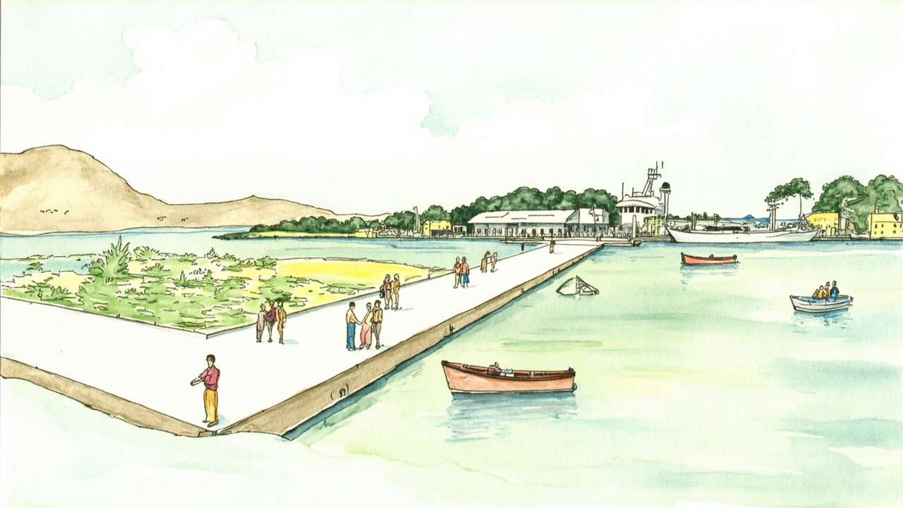
The secretariats of Navy and of Environment and Natural Resources modified the delimitation and determination of the port area of the Port of Mazatlán, in the municipality of Mazatlán, Sinaloa, which will be constituted by an enveloping polygon of 26,872.2073 square meters. The Agreement was signed on October 7, 2026, and published in the Official Gazette of the Federation no. 286/2026 on Monday, October 19, 2026, in the Executive Power section. It will enter into force the day after its publication, that is, October 20, 2026.
The instrument is issued based on articles 27, fifth and sixth paragraphs, 28, twelfth paragraph, and 42, fraction V of the Political Constitution of the United Mexican States, as well as the Ports Law, the General Law of National Assets, and the Regulation for the use and exploitation of the territorial sea, navigable waterways, beaches, federal maritime-terrestrial zone, and lands reclaimed from the sea. It is signed by the Secretary of the Navy, Admiral Raymundo Pedro Morales Ángeles, and the Secretary of Environment and Natural Resources, Alicia Isabel Adriana Bárcena Ibarra.
Three polygons and one official map
The new delimitation is based on map RP.MMAZA.SIN-2026 1 of 1, dated June 2026, titled “Delimitation and Determination of the Port Area of the Port of Mazatlán”. The breakdown of surfaces is as follows:
- Federal maritime zone (water): 8,746.5049 m².
- Maritime-terrestrial zone (land polygon 1): 4,875.3189 m².
- Lands reclaimed from the sea (land polygon 2): 13,250.3835 m².
- Total surface area of the port area: 26,872.2073 m².
The agreement declares the federal water zones, lands reclaimed from the sea, works and installations of the Federal Government, and other included public domain assets as affected to the area under the administration of the Secretariat of the Navy. If these areas are assigned a different purpose, they will be excluded from the area and will fall under the jurisdiction of Semarnat.
From 1973 to the comprehensive port concession
The modification adds to a chain of previous instruments regarding the same port polygon:
- Presidential Decree published on August 10, 1973, which determined the port area.
- Presidential Decree of May 31, 1974, which enabled the port for deep-sea, mixed, coastal, and fishing traffic.
- Presidential Decree published on December 10, 1991, which expanded the area by 230,743.5816 m².
- Concession Title of July 26, 1994, in favor of the then Administración Portuaria Integral de Mazatlán, S.A. de C.V., published on November 14, 1994.
- Secretarial Agreement published on October 14, 1994, which expanded the area by 4,960,010.00 m².
- Secretarial Agreement of July 27, 2023, and Second Addendum of October 3, 2023, which incorporated 10,413,980.6891 m² (1,403,845.7493 m² of land and 9,010,134.9398 m² of water).
To this is added the resolution published on February 20, 2024, by which the Secretaría de Marina authorized the assignment of rights of Concession Title 1.07.06 —granted in 2006 to Nacional Financiera, S.N.C. as trustee of the Fondo Nacional de Fomento al Turismo— in favor of the Administración del Sistema Portuario Nacional Mazatlán, S.A. de C.V., for a private-use tourist marina over 1,453.91 m² of the maritime zone.
The difference of 563 square meters
The agreement documents a technical discrepancy: the delivery-receipt act of July 8, 2026, records 17,562.568 m² of Lot 23, no block, of Marina Mazatlán boulevard 2201, Desarrollo Marina Mazatlán neighborhood, surface donated by Fonatur to the Federal Government through contract CD-SEMAR-12/2024 of July 18, 2024. The sum of the two land polygons considered in the area reaches 18,125.7024 m², a difference of 563.1344 m².
This difference is attributed to the update of the measurement: the act is based on a topographic survey from 1994, while the “Area Summary” table comes from a survey using orthophotogrammetry, orthorectified aerial or satellite images, and high-precision GNSS systems (RTK/PPK).
Acquired rights and validity
The agreement preserves the rights of third parties and establishes that concessions, permits, and authorizations granted before its entry into force will continue to take effect under the agreed terms and conditions until the end of their validity. The uses and purposes of each zone must comply with the Port Development Master Plan and its operating rules, and the competent authorities will retain their powers even in conceded areas, with the obligation to monitor compliance with environmental regulations.
The relevance for Sinaloa is direct: the delimitation precisely defines which water surfaces, beaches, and reclaimed land remain under the federal port regime and which return to the sphere of Semarnat, which conditions the issuance of concessions and permits for terminals, tourist marinas, and investment projects in one of the most active ports of the Mexican Pacific.
Source: Official Gazette of the Federation, no. 286/2026, October 19, 2026, Executive Branch Section (Secretariat of the Navy), pp. 3-12 (official reference: Agreement modifying the delimitation and determination of the port area of the Port of Mazatlán, State of Sinaloa).