Boletín Oficial del Territorio Histórico de Álava · 28 Sep 2026 · 9 vistas
Álava subjects Asparrena's solar plan to ordinary environmental assessment
Por FactBox Admin
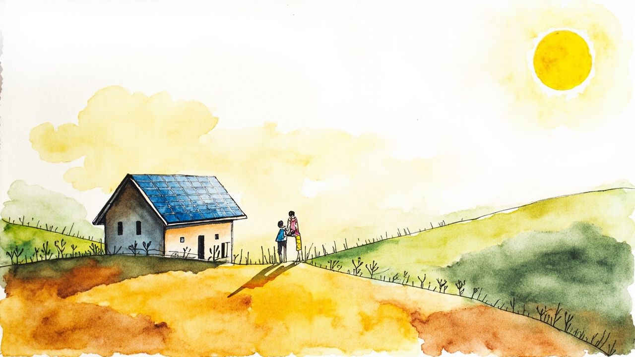
The Provincial Council of Álava has issued the strategic environmental report for the special plan of the Asparrena solar photovoltaic installation, promoted by Magna FV, SL on non-urbanizable land within the municipality of Asparrena. Provincial Order 298/2026, of September 4, published in the Official Gazette of the Historical Territory of Álava (BOTHA) number 111 on Monday, September 28, 2026 (reference 2026-02603), concludes that the plan must undergo an ordinary strategic environmental assessment due to having significant effects on the environment.
The environmental body is the Department of Economic Development and Sustainability of the Provincial Council, while the urban planning processing corresponds to the Asparrena City Council (initial and provisional approval) and the final approval to the Provincial Council, through the department competent in territorial planning. The report, issued by the Environmental Sustainability Service on August 3, 2026 (file 25/88), is mandatory and binding in accordance with article 75.1 of Law 10/2021, of December 9, on Environmental Administration of the Basque Country.
The procedure begins with the simplified strategic environmental assessment regulated by Law 21/2013, of December 9. As a precedent, there is the Resolution of November 14, 2024, from the director of Environmental Quality and Circular Economy, which formulated the environmental impact report for the “Asparrena” photovoltaic plant project (4 MW). The special plan was initially approved by the Plenary of the Asparrena City Council on November 6, 2025.
Installation Characteristics
- Installed capacity: 4.56 MWp / 4 MW nominal.
- Occupied area: 52,243 m² on plots 197, 200, 640, and 1509 of polygon 2.
- 6,510 photovoltaic modules of 700 Wp on single-axis solar trackers.
- Two discontinuous islands: north (37,383 m²) and south (14,860 m²), separated by approximately 700 m.
- Evacuation: two 30 kV underground lines of 1,720.53 m to the sectioning center, crossing provincial roads A-3020 and A-3012 and the Zirauntza river.
- Connection point: i-DE Redes Eléctricas Inteligentes, SAU network, 30 kV Alsasua-Gamarra 1-2 line from the Alsasua substation.
Territorial Incompatibilities
The report confirms that both islands are located entirely within the 500 m exclusion zone relative to the nuclei of Araia, Ametzaga-Asparrena, and Albeniz, a criterion of the Partial Territorial Plan (PTP) of the Central Álava Functional Area, definitively approved by Decree 16/2026, of February 17 (BOPV number 42, of March 3, 2026). The lands also fall within exclusion zones of the Sectoral Territorial Plan (PTS) for Renewable Energies, provisionally approved in December 2024.
The case of Ametzaga is considered especially critical: the town center is surrounded to the south by industrial land, and the plant would be located just over 300 m away. The environmental body warns of a risk of impact on public tranquility and perceptive quality that could exceed the admissible threshold.
Allegations and environmental impacts
During the consultation phase —initiated on January 13, 2026, and repeated on May 20, 2026, after the correction of the environmental document was required— responses were provided by, among others, the Directorate of Natural Heritage and Adaptation to Climate Change and the Directorate of Agriculture and Livestock of the Basque Government, URA-Basque Water Agency, the Museums and Archaeology Service and the Directorate of Agriculture of the Provincial Council, and the administrative boards of Albeniz and Ametzaga.
- Impact on the Aizkorri-Aratz SAC (ES2120002), approximately 400 m away; the Arakil River SAC (ES2110023), 1 km away; and the Robledales Isla de la Llanada Alavesa SAC (ES2110013), 250 m away.
- Species of interest: Montagu’s harrier (Circus pygargus), vulnerable; Hen harrier (Circus cyaneus), ocellated lizard, smooth snake, and agile frog.
- Extreme erosion on the north island, with losses exceeding 200 t/ha per year according to the RUSLE model.
- Need for a prior archaeological study and a report from the competent provincial body regarding agricultural matters.
Pending procedures
The scoping document for the strategic environmental study is attached as an annex to the provincial order. The promoter must prepare the study in accordance with Article 20.2 and Annex IV of Law 21/2013, and the promoting body will open consultations and public information for a minimum period of 45 days, with an announcement in the BOTHA. The resolution is notified to the Asparrena City Council and the Directorate of Territorial Planning, and is published in the BOTHA and on the department’s electronic headquarters.
The report neither authorizes nor rejects the plant, but it conditions its future: by requiring an ordinary evaluation and pointing out incompatibilities with current territorial planning, it forces the promoter to better justify the location or to seek alternatives further away from town centers. For the residents and owners of Asparrena, Araia, Albeniz, and Ametzaga, the document establishes the framework within which the final approval of the special plan by the Provincial Council will be decided.
Source: Official Gazette of the Historical Territory of Álava (BOTHA), no. 111, September 28, 2026, section I - General Assemblies of Álava and Provincial Administration, p. 1-23 (official reference: 2026-02603).