Boletín Oficial de Canarias · 23 Sep 2026 · 6 vistas
Lanzarote approves the PORN of the Volcanoes for 10,158 protected hectares
Por FactBox Admin
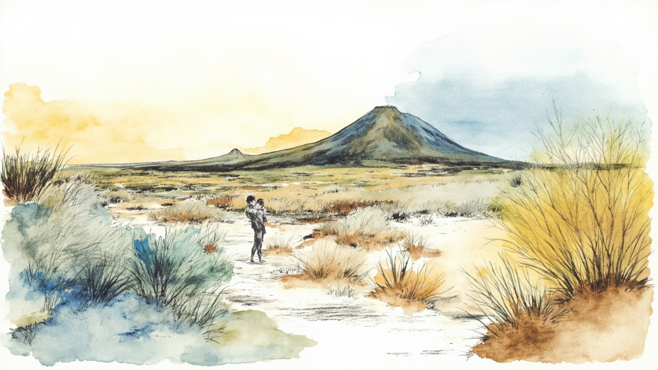
The Plenary of the Insular Council of Lanzarote and La Graciosa approved on July 9, 2026, the Natural Resources Management Plan (PORN) of the Los Volcanes Natural Park, according to the announcement published in the Official Gazette of the Canary Islands no. 191, of September 23, 2026, section V. Announcements, with reference 3318. The agreement, signed on September 11, 2026, by the Councilor for Land Use and Territorial Policy, Jesús Alexander Machín Tavío, establishes the management determinations for an area of 10,158.4 hectares located in the west of Lanzarote.
The PORN is the specific instrument to delimit, classify, and integrate into a network the systems that make up the heritage and natural resources of an area, in accordance with articles 17 and 19 of Law 42/2007, of December 13, on Natural Heritage and Biodiversity. Its approval was mandatory: article 36 of that regulation and article 177.1 of Law 4/2017, of July 13, on Land and Protected Natural Spaces of the Canary Islands require the preparation of the PORN for parks declared by law, and the jurisprudence of the Supreme Court (STS of December 20, 2017) links the full effectiveness of the space’s declaration to the existence of this plan. The processing complied with the second additional provision of Decree 181/2018, of December 26, which approves the Planning Regulations of the Canary Islands.
A park of 10,158 hectares across three municipalities
The Los Volcanes Natural Park, identified in legal cartography with the code L-3, was declared by Law 12/1987, of June 19, on the declaration of Natural Spaces of the Canary Islands, and segregated from the La Geria Protected Landscape by Law 12/1994, of December 19. Its current boundaries come from the Reclassification annex of Legislative Decree 1/2000, of May 8.
- Area: 10,158.4 hectares, distributed among the municipal terms of Tinajo, Yaiza, and Tías.
- Boundaries: to the west with the Timanfaya National Park, which it surrounds; to the south with the Janubio Site of Scientific Interest; to the east with the La Geria Protected Landscape.
- Natura 2000 Network: coincides with the Special Protection Area for Birds (SPA ES0000100) La Geria and with the Los Volcanes Special Area of Conservation (SAC-ES 7010046).
- Main access points: roads LZ-67 La Santa Sport-Yaiza, LZ-56 Mancha Blanca-La Geria, LZ-704 Yaiza-El Golfo, and LZ-703 Las Breñas-El Golfo, in addition to two coastal boundary strips.
The approved document is structured into four blocks: information, diagnosis, management, and annexes, including Annex II, Carrying Capacity Study in areas with high intensity of park use, and Annex III, response to reports and allegations.
Five allegations and two state reports
The draft was submitted for public information and consultation following the agreement of the Insular Government Council on June 25, 2024, with publication in the Official Gazette of the Canary Islands no. 149, of July 31, 2024, and in the Official Gazette of the Province of Las Palmas no. 9, of July 24, 2024. During the process, which had a two-month deadline, five allegations were received, all of which were answered.
Before being submitted to the Plenary, statements were obtained from two state bodies, both initially unfavorable and finally favorable:
- Ministry of Defense: first unfavorable report on August 18, 2025; favorable report from the Sub-directorate General of Heritage of the General Directorate of Infrastructure on October 27, 2025.
- General Directorate of the Coast and the Sea, of the Ministry for the Ecological Transition and the Demographic Challenge: first unfavorable report on November 3, 2025; favorable report on June 1, 2026.
The file incorporates the technical report from the Land Use and Territorial Policy area of June 22, 2026, the legal report of June 23, 2026, the Audit report 2026-0144, of June 11, 2026, and the proposed Resolution PR/2026/5839, of July 1, 2026. The Insular Government Council approved the project on June 29, 2026, by unanimity.
Climate change, equality and entry into force
The plan incorporates a specific section on climate change adaptation, with a vulnerability diagnosis, objectives, actions, monitoring indicators, and an ecological connectivity plan. Among the measures are the promotion of research on climate impacts, the creation of monitoring systems for parameters such as sea level or calima episodes, and the monitoring of species phenology.
The gender impact report, issued on December 30, 2025, by the coordinator of the Cabildo’s Equality Service, considers the plan favorable and refers the specification of equality actions to the future Master Plan for Use and Management (PRUG).
The agreement will be published in the Official Gazette of the Province of Las Palmas and in the Official Gazette of the Canary Islands, as well as on the Cabildo’s electronic office, and will enter into force fifteen business days after its complete publication in the provincial gazette. A copy will be sent to the Cartographic Council of the Canary Islands and the Planning Registry of the Canary Islands. As it is a provision of a general nature, no administrative appeal is possible, although a contentious-administrative appeal may be filed before the High Court of Justice of the Canary Islands within two months of its publication.
The approval closes a regulatory gap that affected the effectiveness of the park’s declaration and establishes the binding framework to which the territorial and urban planning instruments of western Lanzarote must adapt. For residents, visitors, and sectors such as tourism, fishing, or the primary sector, the PORN now determines which uses and activities are compatible with the conservation of the environmental values of more than 10,000 hectares.
Source: Official Gazette of the Canary Islands, no. 191, of September 23, 2026, section V. Announcements, page 35146 (official reference: 3318).