Boletín Oficial del Territorio Histórico de Álava · 25 Sep 2026 · 6 vistas
The Provincial Council of Álava formulates the environmental report for the Araia solar plan
Por FactBox Admin
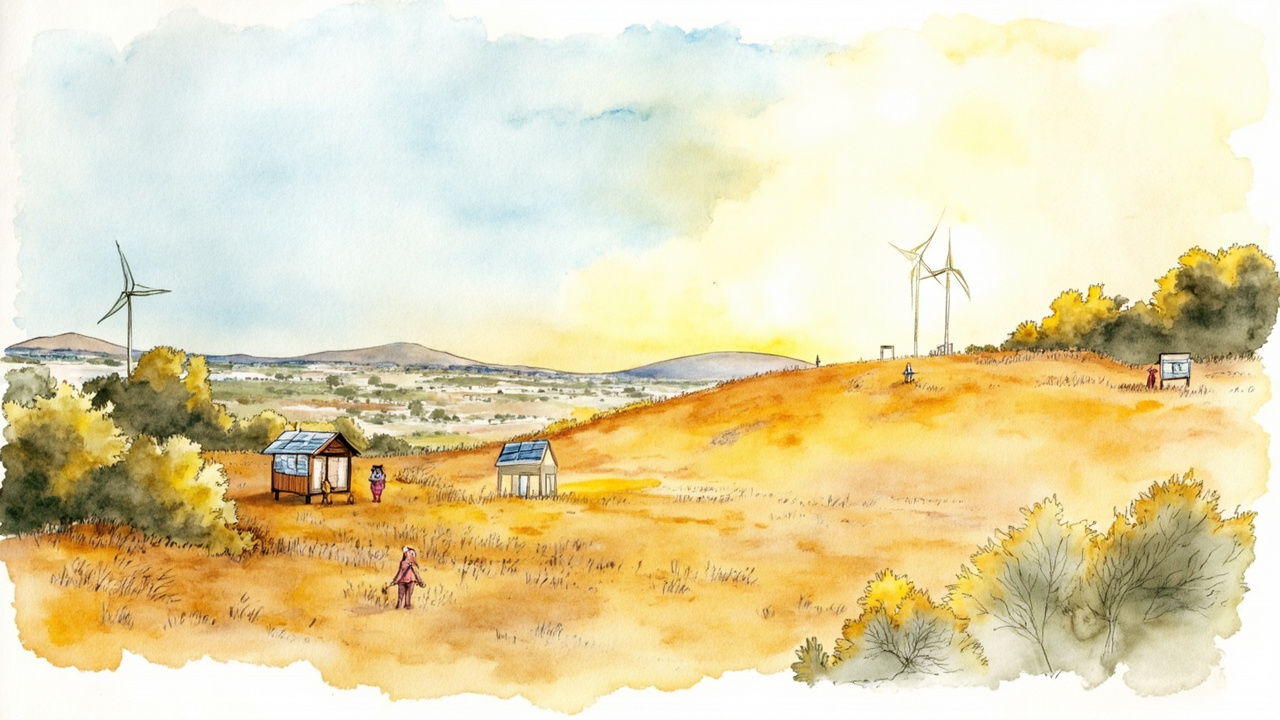
The Provincial Council of Álava has formulated the Strategic Environmental Report for the special plan of the “Araia” solar photovoltaic installation, on non-urbanizable land within the municipal boundaries of Zalduondo and Asparrena. The decision is adopted via Provincial Order 302/2026, of September 4, published in the Official Gazette of the Historical Territory of Álava (BOTHA) number 110, Friday, September 25, 2026, with the official reference 2026-02600. The report concludes that the plan will not produce significant effects on the environment and that the processing of an ordinary environmental assessment is not necessary.
The processing is subject to the simplified strategic environmental assessment procedure regulated by Law 21/2013, of December 9, on Environmental Assessment. The promoter is the commercial company Malakate FV, SL; the competent substantive body to approve the plan is the Directorate of Territorial Planning of the Provincial Council of Álava, and the environmental body is the Directorate of Natural Environment of the same institution. The strategic environmental report supporting the resolution was issued by the Environmental Sustainability Service on July 16, 2026, under file 25/77, following a consultation phase initiated on November 24, 2025, with a one-month deadline.
A 1.16 MWp park over 20,552 square meters
The special plan delimits and organizes the implementation of the plant and its evacuation infrastructure up to the connection point. Its main technical characteristics are:
- Installed capacity of 1.16 MWp and 1 MW nominal, with 1,740 photovoltaic modules of 665 Wp each on single-axis solar tracking structures.
- Transformation center of 1,000 kVA and a medium-voltage underground power line of 13.2 kV and 206.6 meters in length up to the sectioning center.
- 1 MW connection point in the distribution network of i-DE Redes Eléctricas Inteligentes, SAU, on the 13.2 kV 5-Araya line of the STR Asparrena.
- Planning scope over cadastral plots 200 and 202 of polygon 1 of Zalduondo and plot 1503 of polygon 2 of Asparrena, totaling 50,408.09 m², although the effective occupation is 20,552 m² (16,934.44 m² in Zalduondo and 3,618 m² in Asparrena).
- Four detailed use zones, with a maximum panel occupation of 14,386.71 m², a maximum height of 7 meters, and a 10-meter separation from boundaries.
The site is located on substantially flat terrain, between elevations +642 and +629, 850 meters west of Zalduondo and 670 meters northeast of Araia. The alternatives study discarded non-intervention and selected alternative 1 due to its smaller occupation area, shorter evacuation length, and greater distance from population centers.
Environmental conditions and responses from agencies
The report does not identify significant effects, but it imposes mandatory measures. These include:
- A study of avifauna and chiropterans prior to the works, focusing on the Montagu’s harrier (Circus pygargus) and the Hen harrier (Circus cyaneus), to be repeated two years after commissioning.
- Weekly collision mortality sampling during the first year, with an annual report submitted to the competent body.
- Permeable hunting fencing, preferably not exceeding 2 meters in height, with 20x20 cm “cat-flap” type passages every 20 meters and a prohibition on barbed wire.
- Anti-reflective coating on the modules and 25x25 cm anti-collision plates on the enclosure.
- A perimeter vegetation screen of at least 5 meters with two lines of native planting, a settling pond, and a prohibition of herbicides during maintenance.
27 organisms, entities, and associations were consulted; seven responded, to which the report from the Ebro Hydrographic Confederation was added, forwarded via URA – Basque Water Agency. The Cultural Heritage Directorate of the Basque Government does not identify impacts on cultural heritage, and the Historical-Architectural Heritage Service of the Provincial Council of Álava reports that there is no incidence. The Museums and Archaeology Service requires a detailed prior archaeological study in accordance with Article 65 of Law 6/2019, of May 9, on Basque Cultural Heritage, and the Agriculture Directorate of the Provincial Council of Álava concludes that the agricultural sector impact is compatible, warning of the cumulative effects with other photovoltaic plants currently being processed in both municipalities.
Validity, deadlines, and notifications
The report is mandatory and binding in nature pursuant to Article 75.1 of Law 10/2021, of December 9, on Environmental Administration of Euskadi. It will lose its validity if the plan is not approved within four years of its publication. Within the ten business days following approval, the Department of Territorial Balance and Land Use Planning must send the resolution and the electronic reference of the documentation to the BOTHA. The resolution is notified to the City Councils of Zalduondo and Asparrena and to the Directorate of Land Use Planning, and is not subject to appeal pursuant to Article 31.5 of Law 21/2013. It is signed by the deputy for Economic Development and Sustainability, Saray Zárate Fernández de Landa, and the director of Natural Environment, María José Madeira García.
The report clears the project’s main environmental procedure and opens the way for the approval of the special plan, a decisive step for the residents of Zalduondo and Asparrena and for the energy sector, which faces a growing accumulation of photovoltaic installations in the Llanada Alavesa with cumulative effects on agricultural land and the landscape.
Source: Official Gazette of the Historical Territory of Álava (BOTHA), no. 110, September 25, 2026, section I, pp. 1-24 (official reference: 2026-02600).