BOP de A Coruña · 15 Sep 2026 · 5 vistas
Bergondo approves the urban modification of the SUNC of San Cidre
Por FactBox Admin
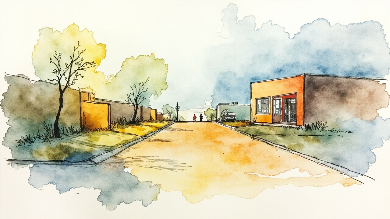
The Bergondo City Council published in the Official Gazette of the Province of A Coruña (number 176, of September 15, 2026) the regulations for the ninth specific modification of the Municipal Subsidiary Planning Norms, which delimits a polygon of unconsolidated urban land (SUNC) in the place of San Cidre, in the urban center of the municipality. The final approval was agreed upon by Order of April 21, 2026 of the Ministry of Housing and Infrastructure Planning, published in the Official Gazette of Galicia no. 82, of May 5, 2026.
The consolidated text was registered on August 21, 2026, in the Registry of Land Management and Urban Planning of Galicia (Section II, Book I, Volume VI, registration sheet no. 05, registration number ROTGP/P/66/2026). The publication in the provincial gazette, under articles 82 and 88.4 of Law 2/2016, of February 10, on Galician Land, and article 70 of Law 7/1985, of April 2, regulating the bases of local regime, activates the period of 15 business days for its entry into force.
An area of 3.5 hectares with 20 plots
The scope of the modification covers an approximate area of 3.5 hectares (35,251 m²) formed by 20 cadastral plots, bordering to the north with a paved local road, to the west with residential plots on urban land, to the south with the AC-164 road, and to the east with the San Cidre road, AC-162. The current classification of the land is distributed between:
- Equipment system: 1.55 Ha
- Road system: 0.42 Ha
- Single-family residential zone: 1.35 Ha
The objective of the modification is to reinforce the urban fabric of the Bergondo center within the municipality’s system of centralities, providing the land with higher residential density and economic activity, improving mobility and accessibility, and integrating the public space environmentally and landscape-wise.
Detailed planning and protected housing
The modification delimits a single execution polygon of 16,350 m², which will be developed through the compensation system by the constitution of a Compensation Board. The detailed planning establishes three zones:
- RES-VC-1 (row planning), with three residential units totaling 54 reference dwellings and a maximum buildable area of 4,977.06 m²
- RES-VC-2 (continuous planning), with 10 reference dwellings and 810.18 m² buildable
- TER-CM-1 (exclusive commercial tertiary), a plot of 4,937.32 m² with 2,962.39 m² buildable
35% of the total residential ceiling, 2,025.53 m², is allocated to public promotion housing. On the ground floors of the residential units, commercial use is alternative or compatible with residential use, and the tertiary plot reserves at least 58 parking spaces and 5 spaces for bicycles.
Healthy mobility and landscape integration
The regulations introduce a healthy mobility connector (key IC-VIA3) with pedestrian priority and calmed traffic in zone 10, as well as access roads with priority pedestrian use. Urbanization projects must guarantee continuous and accessible pedestrian itineraries of 2 meters, use native plant species and permeable materials, and provide for the connection of sanitation to the Gandarío WWTP. Buildings must respect the aeronautical easements of the A Coruña Airport and the determinations of the Natura 2000 Network of Galicia.
The modification, of indefinite validity, is binding for both the administration and private individuals, and any action within this scope must comply with its determinations. For the owners of the 20 plots and for future constructions in the nucleus, this planning defines the conditions for subdivision, building, and use that will govern the urban development of San Cidre in the coming years.
Source: Official Gazette of the Province of A Coruña, no. 176, September 15, 2026, Local Administration section (official reference: announcement 2026/5923).