Western Australian Government Gazette · 29 Sep 2026 · 23 vistas
Augusta Margaret River's new planning scheme replaces 2010 rules across shire
Por FactBox Admin
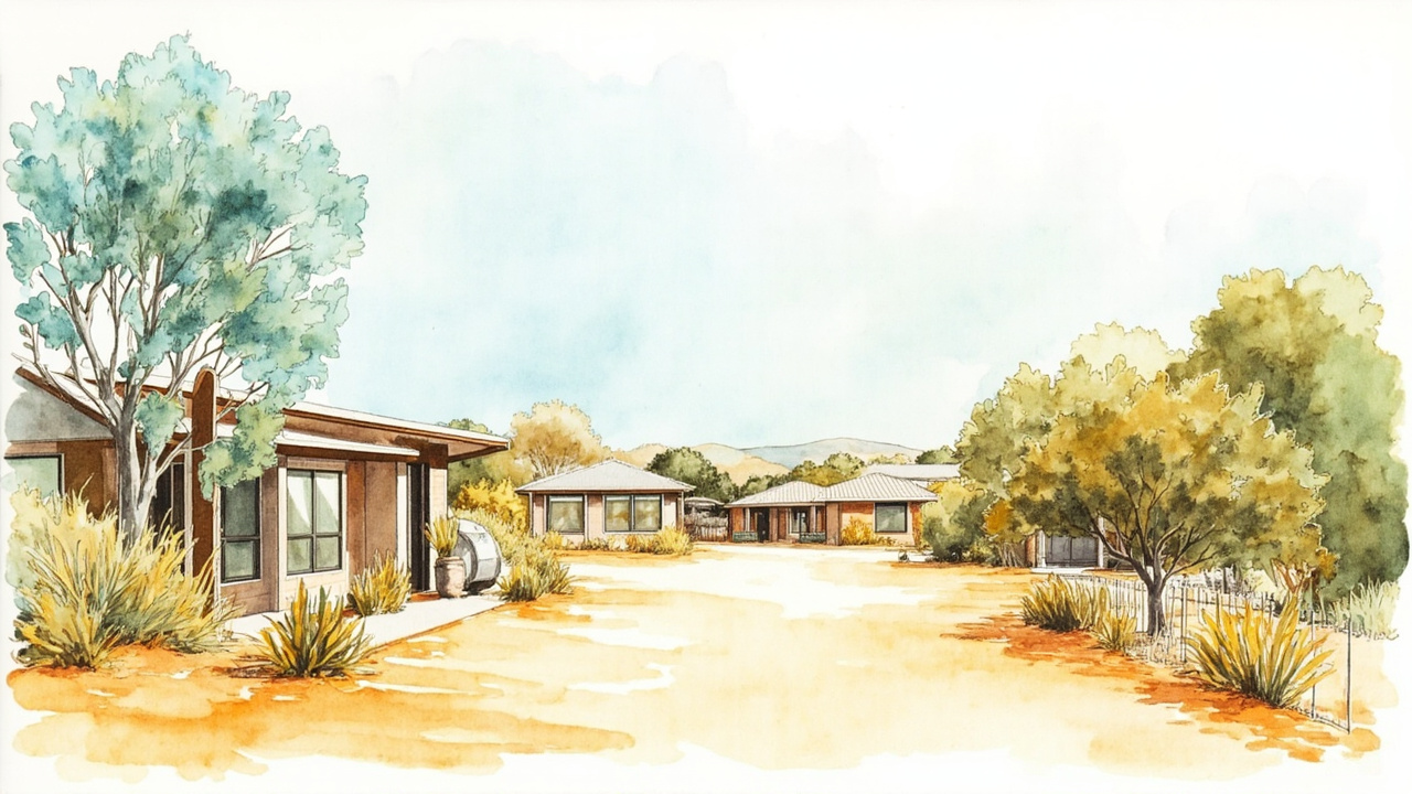
The Shire of Augusta Margaret River’s Scheme No. 2 came into operation on 29 September 2026, the day it was published in the Government Gazette of Western Australia, revoking Local Planning Scheme No. 1, gazetted on 24 September 2010. The scheme was approved by the Minister for Planning, J. Carey, on 5 August 2026 and recommended for approval by the Western Australian Planning Commission on 8 July 2026. It resets zoning, residential density coding and development rules for the entire shire.
A new statutory rulebook for the shire
The scheme is made under the Planning and Development Act 2005 and appears in Government Gazette No. 124, a Special edition dated 29 September 2026, spanning pages 2103 to 2231. Under clause 2, it comes into operation on gazettal pursuant to section 87(4) of the Act.
The Shire of Augusta Margaret River is the local government responsible for enforcement and implementation. The scheme comprises the scheme text, the Scheme Map (Sheets 1—25) and the Deemed Provisions set out in Schedule 2 of the Planning and Development (Local Planning Schemes) Regulations 2015, together with supplemental provisions in Schedule A.
Zones, reserves and special control areas
- 13 zones: Urban Development, Residential, Rural Residential, Service Commercial, District Centre, Neighbourhood Centre, Local Centre, Light Industry, Industrial Development, Tourism, Priority Agriculture, Environmental Conservation and Special Use.
- 5 special control areas: SCA 1 Margaret River Water Catchment Area, SCA 2 Molloy Island Area, SCA 3 Flinders Bay Heritage Conservation Area, SCA 4 Backyard Infill and SCA 5 Gnarabup Area.
- Local reserves include Public Open Space, Environmental Conservation, State Forest, Civic and Community, Public Purposes, Cemetery, Car Park, Drainage/Waterway, Primary Distributor Road, Local Road, Strategic Infrastructure and Foreshore.
- There are no regional reserves, no other local planning schemes and no region planning scheme applying to the scheme area.
Residential design codes and site rules
The Residential Design Codes (R-Codes) are read as part of the scheme, with variations set out in clause 26. Building heights follow Schedule 7, clause 7; the R-Codes are varied for residential development coded R5 or less, for Molloy Island (SCA 2) and for grouped and multiple dwellings in Backyard Infill (SCA 4).
On Molloy Island, vulnerable land uses are prohibited because of high bushfire risk and limited evacuation options, subdivision of lots will not be supported, and private petrol and diesel generators are banned other than for emergencies. Development at No. 1—31 Elizabeth Street and No. 270—302 Railway Terrace, Margaret River must comply with Schedule 1—A40.
Developer contributions for local infrastructure
Schedule 10 sets out 15 development contribution plans:
- DCP1a Margaret River Cultural Centre, DCP1b Gloucester Park and DCP1c Margaret River Youthspace (DCA1).
- DCP2a Margaret River Footpath Improvements, DCP2b Station Road Stormwater, DCP2c Kevill Road and DCP2d Ashton Street SPA14 (DCA2).
- DCP3a Augusta Path Improvements, DCP3b Augusta Planning Area 6 and DCP3c Augusta Civic Park (DCA3).
- DCP4 Cowaramup, DCP5 Witchcliffe, DCP6 Karridale, DCP7 Kudardup and DCP8 Gracetown.
Adoption and approval
- Council resolved to advertise the scheme on 26 August 2020.
- Council resolved to support approval of the draft scheme at a Special Meeting on 20 November 2024, sealed by President J. Jean-Rice and Chief Executive Officer A. Selvey.
- The Western Australian Planning Commission recommended approval under delegated authority on 8 July 2026.
- The Minister for Planning granted approval on 5 August 2026.
The scheme’s stated aims include an environment-first approach to land use and development, protection of biodiversity, retention of priority agricultural land for food security, a variety of housing types and levels of affordability, and climate change mitigation and adaptation.
For landowners, developers and residents across Augusta, Margaret River, Cowaramup, Witchcliffe, Karridale, Kudardup, Gracetown, Prevelly and Gnarabup, Scheme No. 2 is now the operative planning instrument: every development application, subdivision and rezoning in the shire will be assessed against it rather than the 2010 scheme.
Source: Government Gazette of Western Australia, No. 124, 29 September 2026, Special, pp. 2103–2231 (official reference: Shire of Augusta Margaret River Scheme No. 2).