Diario Oficial de la República de Chile · 08 Sep 2026 · 15 vistas
Extension of the Salar de Maricunga tourist zone until 2030
Por FactBox Admin
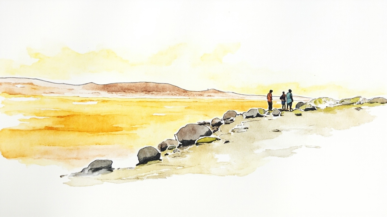
The Undersecretariat of Tourism, under the Ministry of Economy, Development and Tourism, declared the extension of the Tourism Interest Zone (ZOIT) “Salar de Maricunga - Volcán Ojos del Salado”, in the Atacama Region, extending its validity until June 2, 2030. The decision was formalized through exempt decree No. DEXE202600148, dated August 25, 2026, published in the Official Gazette of the Republic of Chile No. 44,545 on Tuesday, September 8, 2026 (official reference: CVE 2864507).
The extension was unanimously approved by the Tourism Ministers’ Committee, through agreement No. 6 of the Minutes of ordinary session No. 32, dated May 7, 2026, signed by the ministers of Economy, Development and Tourism, Public Works, Agriculture, and the Environment.
Regulatory Framework and Background
The declaration of a ZOIT is based on Law No. 20,423, regarding the Institutional System for Tourism Development, and Supreme Decree No. 30 of 2016, which establishes the procedure for its declaration. The territory was previously updated via exempt decree DEXE202200070, dated June 2, 2022, which expired on June 2, 2026.
The request for extension was submitted on November 26, 2025, by the Regional Director of the National Tourism Service, as president of the Public-Private Table, along with a compliance report on the Action Plan and an update proposal for the next four years. The extension is applied retroactively under Article 52 of Law No. 19,880, as it involves the extension of an existing situation that produces favorable consequences.
Delimitation and Digitization of the Territory
The ZOIT covers part of the commune of Copiapó, in the Atacama Region, and its polygon is defined by four vertices with referential geographic coordinates:
- Vertex 1: 26°47'41.31"S, 68°41'4.32"W
- Vertex 2: 27°5'39.36"S, 69°14'6.80"W
- Vertex 3: 27°9'28.10"S, 68°35'14.35"W
- Vertex 4: 26°54'57.93"S, 68°17'21.86"W
In accordance with the “Recommendations to improve the digitization and standardization of ZOIT Polygons” (March 2026), technical adjustments were made to the vertices to improve cartographic precision without modifying the polygon. The polygon and official coordinates are published in SHP or KMZ formats on the institutional website www.subturismo.gob.cl.
Scope and Relevance
The ZOIT declaration constitutes a planning and management tool to promote the development of tourism activity and focus resources, without conferring a special environmental protection status over the territory. The act was issued “By order of the President of the Republic” and signed by the Minister of Economy, Development and Tourism, Daniel Mas Valdés.
The extension ensures the continuity of tourism planning in an area of high landscape and mining value, conditioning private sector investments and the conservation of the territory over the next four years.
Source: Official Gazette of the Republic of Chile, No. 44,545, Tuesday, September 8, 2026, General Norms, pgs. 1-3 (official reference: CVE 2864507).