Boletín Oficial de Castilla y León · 14 Oct 2026 · 7 vistas
The Board classifies the livestock routes of San Miguel del Arroyo
Por FactBox Admin
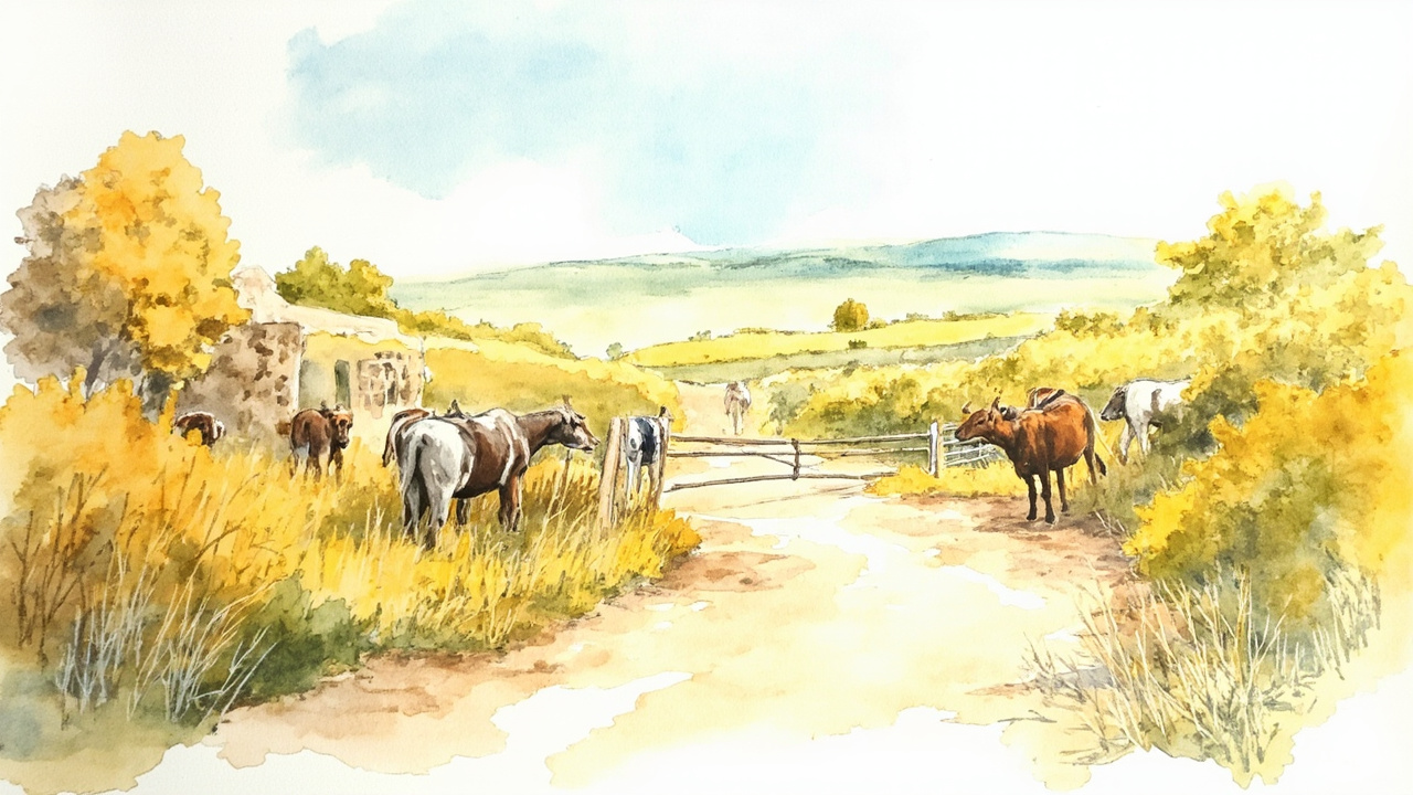
The Regional Ministry of Environment and Energy of the Regional Government of Castilla y León has approved the classification of the livestock routes (vías pecuarias) of the municipality of San Miguel del Arroyo (Valladolid) through Order MAE/1036/2026, of October 8, published in the Official Gazette of Castilla y León no. 199, of October 14, 2026. The resolution determines the existence, width, layout, and other general physical characteristics of four livestock routes totaling approximately 27,020 meters within the municipality. The agreement concludes the administrative process and opens the period for appeal.
According to Article 7 of Law 3/1995, of March 23, on Livestock Routes, the classification is an administrative act of a declaratory nature. The competence belongs to the autonomous community, which must also classify routes that remain unclassified. The order is issued under Law 3/2001, of July 3, on the Government and Administration of Castilla y León, Decree 2/2026, of June 13, on the restructuring of regional ministries, and Decree 14/2026, of June 29, on the organic structure of the Ministry, and bears the signature of the regional minister María González Corral.
Four livestock routes and their layouts
The file includes the following livestock routes in the municipality of San Miguel del Arroyo:
- Cañada Real Soriana or Cañada Real Burgalesa: general southwest direction, connecting Montemayor de Pililla, San Miguel del Arroyo, and Cogeces de Íscar. Variable width from 10 to 75 meters and an approximate length of 13,290 meters, divided into four sections.
- Vereda de La Cañadilla: originates in Camporredondo and ends in Vallelado, on the slopes of Mount Valcaliente. Width from 10 to 20 meters and 7,760 meters in length, in five sections.
- Cañada Real Leonesa: originates in Portillo and continues toward Cogeces de Íscar. Width from 15 to 75 meters and 2,650 meters in length, in three sections.
- Vereda del Camino Real: crosses the urban center of San Miguel del Arroyo and heads toward Montemayor de Pililla. Width from 4 to 20 meters and 3,320 meters in length, in two sections.
The document also details the resting areas associated with the layout, including replacement plots with codes 8618393, 8623667, 8628685, and 8701408, with areas of 6,802, 1,630, 6,393, and 1,521 square meters, respectively. The route crosses infrastructure such as the VA-601 road, the A-601 highway, and the VP-1203 and VA-601 roads, and passes through public utility forests 54 (El Negral), 92 (Piñuelo or El Piñuelo), and 50 (Llano de San Marugán).
A three-and-a-half-year file without objections
The procedure began on March 7, 2023, when the Territorial Environment Service of Valladolid requested authorization to initiate the file. The authorization arrived on April 13, 2023. On February 14, 2024, the announcement of the classification works was published, scheduled for March 20, 2024, the date on which the minutes were drawn up with the list of the four routes.
The classification proposal was submitted for public consultation via an announcement on June 11, 2024, with the publication of the file documents on the Junta de Castilla y León website. On March 13, 2026, the head of the Territorial Environment Service of Valladolid certified that no allegations had been received and expressed his agreement with the actions taken. Four days later, on March 17, 2026, the file was elevated to the General Directorate of Natural Heritage and Forestry Policy.
Among the bodies informed of the file are the Territorial Service of Agriculture, Livestock and Rural Development of Valladolid, the Provincial Council of Valladolid, the Provincial Agrarian Chamber of Valladolid, the Local Agricultural Board of San Miguel del Arroyo, A.S.A.J.A., C.O.A.G., the Federation of Ecologists in Action, U.P.A. and the city councils of Camporredondo, Cogeces de Íscar, Mata de Cuéllar, Montemayor de Pililla, Portillo, San Cristóbal de Cuéllar, Torrescárcela, Vallelado and Viloria.
Appeal Periods
Against the order, which exhausts the administrative route, the following are applicable:
- Optional appeal for reversal before the Ministry of Environment and Energy, within a period of one month, in accordance with articles 112, 123 and 124 of Law 39/2015, of October 1.
- Contentious-administrative appeal before the Contentious-Administrative Chamber of the High Court of Justice of Castilla y León, within a period of two months, according to Law 29/1998, of July 13.
The calculation of both periods begins the day following the publication of the order in the Official Gazette of Castilla y León.
The classification has direct effects on the owners of adjacent estates and on the livestock uses of the municipality, as it consolidates the layout and widths of the routes and provides them with the protection that livestock route regulations grant to these corridors. Since no allegations were presented during the public consultation, the file reaches its final resolution without modifications derived from citizen participation, such that the livestock map of San Miguel del Arroyo is fixed for administrative purposes.
Source: Official Gazette of Castilla y León, no. 199, of October 14, 2026, section I.D Other Provisions, pp. 103-115 (official reference: BOCYL-D-14102026-199-20).