Kanpō (官報) · 09 Sep 2026 · 7 vistas
MoD to Conduct JMSDF Live-Fire Exercises in Four Areas in September
Por FactBox Admin
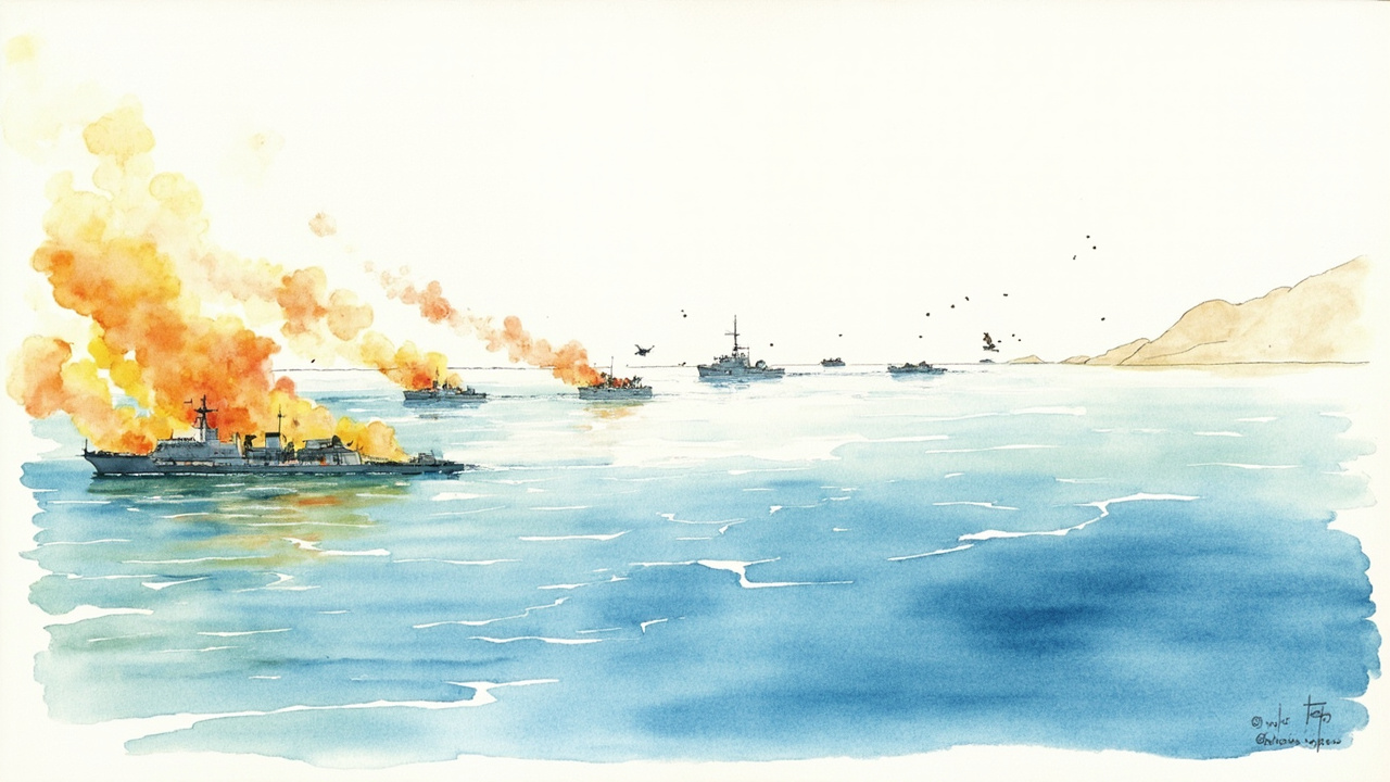
The Ministry of Defense, in the Official Gazette dated September 9, 2026, announced via four notices—Ministry of Defense Notice No. 231 through No. 234—that firing exercises by Japan Maritime Self-Defense Force (JMSDF) vessels will be conducted in mid-September in four sea areas: north of Wakasa Bay, southeast of Hachijojima, south of the Bungo Channel, and south of the Goto Islands. All notices were signed by Minister of Defense Shinjiro Koizumi, serving to notify navigating vessels and fishery personnel of the designated exercise areas and schedules.
Based on the Self-Defense Forces Act, these notices publicize the implementation areas, dates, and number of vessels involved in the exercises. It is stipulated that the participating vessels will hoist the “B” flag during the exercises, and training will be conducted while confirming that no aircraft or vessels are present within the area. The latitude and longitude of each area are indicated using World Geodetic System values, and the exercises will be carried out within a range that includes the airspace up to altitudes such as 15,240 meters above sea level.
Implementation from September 14 to 18 in Four Sea Areas
The exercises will be concentrated in mid-September. The sea areas, dates, and number of vessels for each notice are as follows:
- South of Bungo Channel (Notice No. 231): September 14 to 18 (Reserve days: September 19 and 20), daily 06:00–18:00, 10 JMSDF vessels
- Southeast of Hachijojima (Notice No. 232): September 14 to 18, daily 06:00–18:00, 10 JMSDF vessels
- South of Goto Islands (Notice No. 233): September 14 to 18, daily 08:00–17:00, 9 JMSDF vessels
- North of Wakasa Bay (Notice No. 234): September 17 (Reserve days: September 16 and 18), 07:00–21:00, 9 JMSDF vessels
Exercise Areas and Safety Measures
Each notice explicitly defines the exercise areas by latitude and longitude. For the area southeast of Hachijojima, the designated range is the sea surface and the airspace above it up to an altitude of 18,288 meters, within a circle with a radius of 25 nautical miles centered at 31°14'14" N, 144°26'48" E. The areas south of the Bungo Channel and south of the Goto Islands consist of the sea surface and airspace enclosed by lines connecting multiple points, while the area north of Wakasa Bay consists of the sea surface and airspace enclosed by lines connecting four points.
During implementation, the participating vessels will hoist the “B” flag, and exercises will be conducted while ensuring that no vessels or aircraft are present in the firing area. It is also explicitly stated that the latitude and longitude for each area are based on World Geodetic System values.
Impact on Navigating Vessels and Fishery Personnel
Vessels and aircraft must avoid entering the designated sea areas during the exercise period. In particular, as the Bungo Channel and Wakasa Bay see heavy traffic of merchant and fishing vessels, and the area around the Goto Islands is a region of active fishing, relevant parties are requested to check the Official Gazette notices and adjust their navigation plans in advance.
The Ministry of Defense will continue to regularly announce similar exercises; therefore, checking the Official Gazette is important from the perspective of navigation safety.
Source: Official Gazette (September 9, 2026) Ministry of Defense Notice No. 231 to No. 234 (Regarding the conduct of firing exercises at sea). Reference files: 20260909h017860007.full.md, 20260909h017860008.full.md.