Diario Oficial de Castilla-La Mancha · 28 Oct 2026 · 8 vistas
Ercávica expands its protection with a 154-hectare environment
Por FactBox Admin
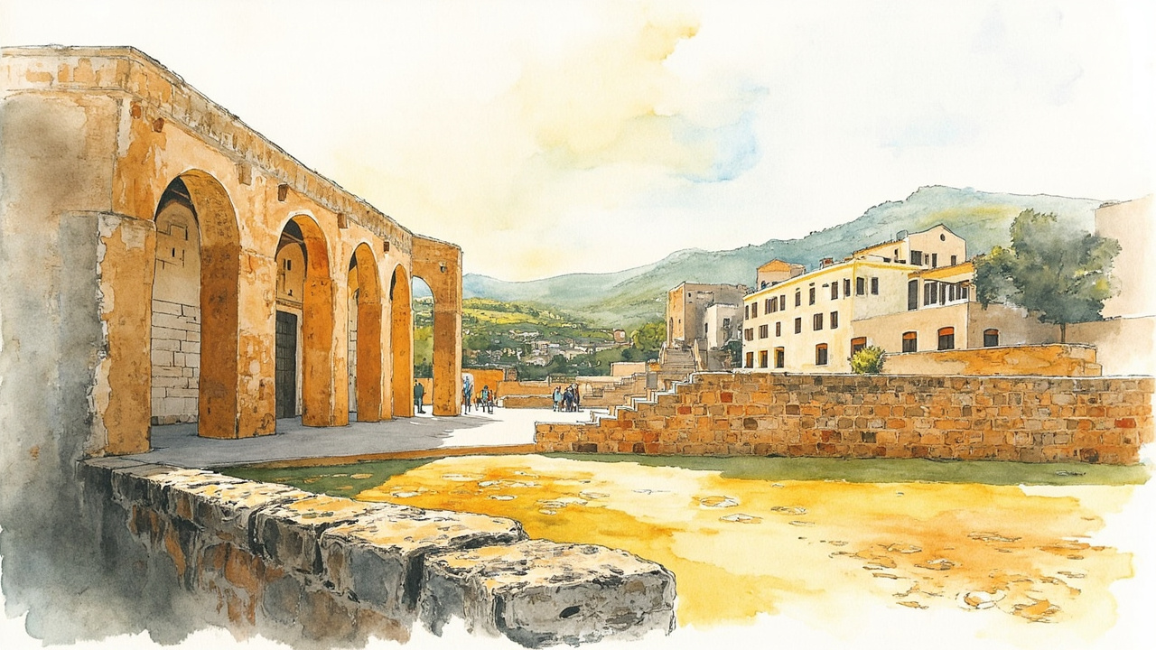
The Vice-Ministry of Culture and Sports of the Regional Government of Castilla-La Mancha has initiated the proceedings to delimit the protection area of the Ercávica site, in Cañaveruelas (Cuenca), declared a Property of Cultural Interest under the category of Archaeological Zone. The decision was formalized through the Resolution of 10/20/2026, signed in Toledo by the vice-minister Carmen Teresa Olmedo Pedroche, and published in the Official Gazette of Castilla-La Mancha (DOCM) No. 207, of October 28, 2026 (official reference: 2026/7696). The opening of the proceedings immediately activates the protection regime provided for assets already declared.
A perimeter of 154 hectares and 6.5 kilometers
The delimited area covers a surface of nearly 154 hectares, with a perimeter of just over 6.5 kilometers, and encompasses the promontory where the Roman city is located along with several associated sites. The layout is based on stable geographical references: to the northwest, north, and east, it adheres to the plots bordering the Buendía reservoir; the southern boundary is marked by the camino del Ejido; and the southeast is delimited by the plots facing the road from Albaladejito to Guadalajara.
The affected lands are distributed within Polygon 505 of the municipality of Cañaveruelas. The declared asset occupies plots 1-4, 6 (partial), 5016, and 9005, while plots 5, 7-28, 1001-1003, 5001-5008, 5011, 5014, 5015, 5017, 5019, 5020, 5022-5024, 5026, 5027, 5029-5054, 5057-5146, 5148, 5154-5158, 9004, and 9006 are included entirely within the perimeter. The resolution incorporates the complete list of cadastral references and the attached planimetry.
Suspension of licenses and affected estate
The initiation of the procedure determines, in accordance with Article 13 of Law 4/2013, of May 16, on the Cultural Heritage of Castilla-La Mancha, the immediate application of the protection regime for assets already declared. Specifically, Article 16 of Law 16/1985, of June 25, on Spanish Historical Heritage, implies:
- The suspension of municipal licenses for subdivision, construction, or demolition in the affected areas.
- The suspension of the effects of licenses already granted in that area.
- The subordination of any change of use, segregation, or aggregation to the authorization of the ministry competent in matters of Cultural Heritage.
- The prohibition of installing advertising, cables, antennas, pipelines, and other elements that harm the conservation of the asset or its appreciation within the environment.
- The impossibility of relocating the asset except for reasons of force majeure or social interest, and the duty to facilitate public visits.
The Cañaveruelas City Council and the owners of the included estates are, therefore, subject to this authorization regime while the declaration is being processed.
One month to file objections and the value of the ensemble
The resolution provides for the opening of a public information period of one month, counted from the day following its publication in the DOCM, so that interested parties may examine the file and submit objections at the offices of the Vice-Ministry of Culture and Sports, located at Bulevar del Río Alberche, s/n, Toledo. Notification is carried out via publication, as it involves an indeterminate plurality of interested parties.
The delimitation is justified by the need to preserve the perception of the ensemble, which integrates the city’s promontory and the sites of the Servitano monastery, the El Pocillo fountain, and La Peña Parda, in addition to two ancient Roman land plots of 20 x 20 actus fossilized in the landscape. The text emphasizes that recent excavations at the Servitano monastery, with clearings that have revealed the relevance of the site, reinforce its link to the asset, from which materials were extracted for its construction.
A city with two documented millennia
The annex reviews the history of the enclave, located in the Cuenca Alcarria, very close to the border with Guadalajara and on a promontory largely surrounded by the Buendía reservoir, with slopes that drop sharply from 800 to 720 meters. The first historical mention dates back to the siege of 179 BC by the praetor Tiberius Sempronius Gracchus, recorded by Livy (XL, 50), who describes the Celtiberian city as a nobilis et potens civitas.
Systematic excavations have followed since 1972: Manuel Osuna Ruiz (1972-1989), Rafael Barroso and Jorge Morín (1990-1992), Miguel Ángel Valero and Alberto Lorrio (1998) and, since 1999, Rebeca Rubio and the University of Castilla-La Mancha. In the Visigothic era, Arcávica was one of the three episcopal seats of the current province of Cuenca, along with Segóbriga and Valeria.
With this resolution, the protection of Ercávica ceases to be limited to the archaeological site and extends to the landscape that explains it: owners of the surrounding plots must consult the cultural administration regarding any intervention before acting, and the file remains open for objections over the next month.
Source: Official Gazette of Castilla-La Mancha, no. 207, October 28, 2026, section III, page 37869 (official reference: 2026/7696).