Diario Oficial de Castilla-La Mancha · 21 Oct 2026 · 3 vistas
The demarcation of the Cañada Real de los Serranos in Fuentealbilla has been approved
Por FactBox Admin
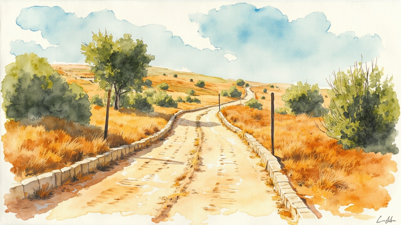
The Regional Ministry of Sustainable Development of the Junta de Comunidades de Castilla-La Mancha has approved the demarcation of the livestock route Cañada Real de los Serranos in the municipality of Fuentealbilla (Albacete). The decision is contained in the Resolution of 09/16/2026, published in the Official Gazette of Castilla-La Mancha No. 202 of October 21, 2026, section III, pages 37274 to 37278, with official reference 2026/7510. The agreement establishes the limits of the public livestock domain over a section approximately 5,951 meters in length and 39.134 hectares in area.
The file is processed under Law 3/1995, of March 23, on Livestock Routes, and Law 9/2003, of March 20, on Livestock Routes of Castilla-La Mancha, whose article 13 regulates the demarcation procedure. The route was already among those classified in the municipality according to the Ministerial Order of October 30, 1971, an administrative act which, according to the resolution, is legally defined and distinct from the demarcation itself.
The work was commissioned on September 28, 2023, by the General Directorate of Natural Environment and Biodiversity to the public company Tragsatec, funded by the Transformation and Resilience Plan. The procedure began on May 26, 2025, when the head of the Provincial Delegation of the Regional Ministry of Sustainable Development in Albacete agreed to its commencement and appointed Raúl Navarro López as the engineer in charge of the material operations and the investigation.
A layout of three sections and 254 stakes
The demarcated route is divided into three sections, with a width of 75 meters in sections I and II and variable width in section III:
- Section I: 3,922 meters, from the boundary line with Golosalvo heading south to the limit with Jorquera, in the Belastegui area.
- Section II: 174 meters, from the exit of the Jorquera municipality heading west to the line with Valdeganga, in the El Espino area.
- Section III: 1,855 meters, running along the municipal boundary line between Fuentealbilla and Valdeganga.
The material staking operation took place on September 2, 2025, with the presence of Administration representatives, two environmental agents, Tragsatec technicians, and representatives from the involved and adjacent city councils. On the ground, 254 stakes were replotted, numbered with odd numbers on the left bank and even numbers on the right. The starting point, stake 1’, is located at UTM coordinates X 618,397.01 and Y 4,340,861.67, and the end of the section at stake 193, at X 616,807.03 and Y 4,336,064.28.
One hundred intrusions and no authorized occupations
During the boundary survey, 103 possible intrusions were found within the livestock route, which will be subject to the appropriate actions in each case as defined in the operating engineer’s report and the public exhibition plans. In contrast, no occupation files affecting the lands of the livestock route were found.
The resolution orders, in its operative part, that once the boundary demarcation is approved, it shall proceed to be marked with boundary stones and that the demarcated section be restored to its original state, with the elimination or regularization of the detected intrusions, once the demarcation becomes final.
Allegations from the Ministry and the Heirs of SLG
The boundary demarcation proposal was presented to the public via an announcement on January 7, 2026, published in the Official Gazette of Castilla-La Mancha No. 10 of January 16, 2026, and sent to the town halls of Fuentealbilla, Golosalvo, Mahora, Jorquera, and Valdeganga, as well as to local grazing commissions, agricultural organizations, and nature conservation associations. Two allegations were presented:
- Ministry for the Ecological Transition and the Demographic Challenge: warned that the Cañada Real de los Serranos is listed in the approved list of livestock routes of the National Network, a circumstance that the resolution expressly notes in its fourth point.
- Heirs of SLG: opposed the demarcation with a width of 75 meters, alleging that the historical orthophotography only shows a path of about 3 meters and that the registry descriptions of the property, registered since 1871, do not include the livestock route. The allegation was dismissed.
The Legal Service of the General Secretariat of the Department of Sustainable Development issued a favorable report on the file on September 14, 2026, following the prior report from the General Directorate of Natural Environment and Biodiversity on August 5, 2026. The resolution is signed in Toledo by the regional minister Mª Mercedes Gómez Rodríguez.
Appeal Periods
Against the resolution, which concludes the administrative process, a motion for reconsideration may be filed before the head of the Department of Sustainable Development within one month from the day following its notification, or a contentious-administrative appeal may be filed before the Contentious-Administrative Chamber of the High Court of Justice of Castilla-La Mancha, based in Albacete, within two months.
The demarcation has a direct effect on the owners of adjacent estates in Fuentealbilla and neighboring municipalities, who see the legal width of the route—and with it, the area that cannot be occupied—materialized on the ground. The resolution transforms a 1971 classification into a georeferenced delimitation and paves the way for the recovery of occupied lands, a relevant step for the conservation of a livestock corridor integrated into the National Network of Livestock Routes (Red Nacional de Vías Pecuarias).
Source: Official Gazette of Castilla-La Mancha, no. 202 of October 21, 2026, section III (Other provisions and acts), pp. 37274-37278 (official reference: 2026/7510).