Boletín Oficial de Castilla y León · 27 Aug 2026 · 12 vistas
The Board classifies seven livestock routes in Velilla de la Sierra
Por FactBox Admin
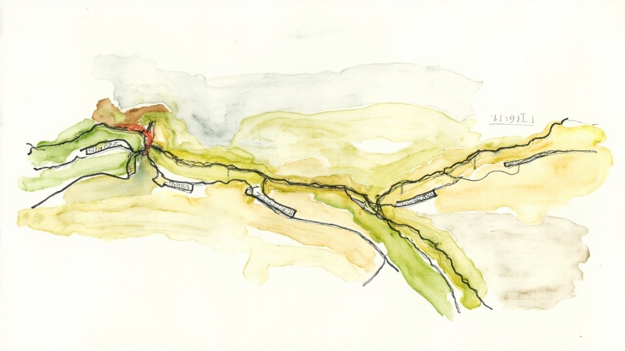
The Regional Ministry of Environment and Energy of the Regional Government of Castilla y León has approved the classification of the livestock routes (vías pecuarias) of the municipality of Velilla de la Sierra (Soria), through Order MAE/808/2026, dated August 18. The provision, signed by the regional minister María González Corral, is published in the Official Gazette of Castilla y León number 166, dated August 27, 2026, on pages 24 to 29.
Classification is the administrative act of a declaratory nature by which the existence, width, layout, and other general physical characteristics of each livestock route are determined, according to Article 7 of Law 3/1995, of March 23, on Livestock Routes. The power of classification corresponds to the autonomous communities, which must carry it out for the routes that do not yet have it.
Seven classified livestock routes
The file, processed by the Territorial Environment Service of Soria, includes five coladas (medium-width routes) and two cordeles (narrower routes) that run through the municipality, with widths ranging between 7 and 37.5 meters:
- Colada from Soria to Almajano: maximum width of 10 meters and 5,700 meters in length.
- Colada from Fuentecantos to Fuensaúco: maximum width of 10 meters and 3,620 meters in length.
- Colada from Ventosilla de San Juan to Soria: maximum width of 10 meters and 425 meters in length.
- Colada from Garray to Almajano and Renieblas: maximum width of 7 meters and 2,820 meters in length.
- Colada of the Royal Road from Soria to Arancón: maximum width of 10 meters and 4,100 meters in length.
- Cordel of Escarabajosa: maximum width of 37.5 meters and 1,880 meters in length.
- Cordel from Renieblas to Fuentecantos: maximum width of 12.5 meters and 100 meters in length.
A four-year process
The procedure began on June 22, 2022, when the Territorial Environment Service of Soria requested authorization from the then Regional Ministry of Environment, Housing, and Territorial Planning, which was granted on July 14, 2022. After the boundary marking (apeo) of the routes, carried out on May 25, 2023, the classification proposal was submitted for public consultation on July 21, 2023, with no objections received, as certified by the head of the territorial service on February 6, 2024.
The file was submitted to the General Directorate of Natural Heritage and Forestry Policy on July 7, 2026, and the order is issued in accordance with the proposal of this body. During the processing, notification was sent to organizations such as the Duero Hydrographic Confederation, the Territorial Cadastre Management of Soria, the Ministry of Transport, Mobility and Urban Agenda, the Provincial Council of Soria, and the city councils of Alconaba, Buitrago, Fuentecantos, Garray, Renieblas, and Soria.
Relevance for the territory
The classification precisely defines the livestock public domain of the municipality, which provides legal certainty to livestock farmers, owners of adjacent estates, and rural land uses. Against the order, which exhausts administrative remedies, an appeal for reversal may be filed before the Regional Ministry of Environment and Energy within one month, or a contentious-administrative appeal may be filed before the High Court of Justice of Castilla y León within two months.
Source: Official Gazette of Castilla y León, no. 166, August 27, 2026, section I.D (Other Provisions), pp. 24-29 (official reference: BOCYL-D-27082026-166-8).