BOP de Toledo · 21 Sep 2026 · 4 vistas
The Board approves the demarcation of public forest number 83 of Anchuras
Por FactBox Admin
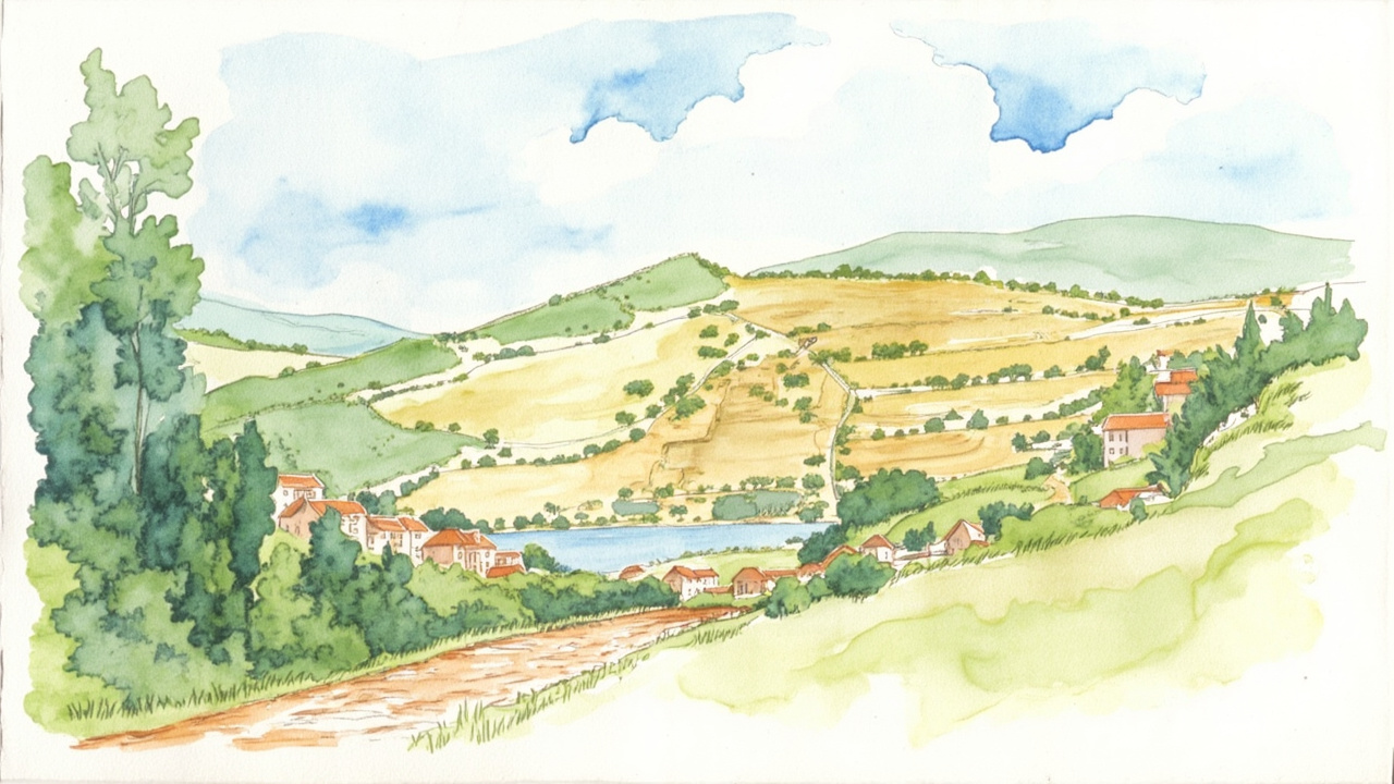
The Regional Ministry of Sustainable Development of the Government of Castilla-La Mancha has approved the boundary demarcation of public utility forest number 83, named “Valdegracia, Colonias, Plaza de Ver, Valtravieso and others,” located in the municipality of Anchuras (Ciudad Real). The resolution is published in the Official Gazette of the Province of Toledo number 180, dated September 21, 2026, section I, with the verification code 2026.00004091. The forest is delimited with a total public area of 1,007.26 hectares.
The file was processed by the Provincial Delegation of Sustainable Development of Toledo, despite the forest appearing in the catalog of the province of Ciudad Real, and was handled in accordance with Decree 485/1962, of February 22, which approves the Forestry Regulations, Law 43/2003, of November 21, on Forests, and Law 3/2008, of June 12, on Forests and Sustainable Forest Management of Castilla-La Mancha. Ownership of the forest belongs to the Government of Castilla-La Mancha.
A 1,007-hectare forest divided into six zones
The resolution sets the total public area at 1,007.26 hectares, distributed as follows:
- Zone A (Valdegracia, Plaza de Ver and Valtravieso): 932.70 ha
- Zone B (Colonias I): 24.14 ha
- Zone C (Colonias II): 32.11 ha
- Zone D: 4.71 ha
- Zone E: 10.74 ha
- Zone F: 2.86 ha
The forest has no enclaves and supports “the usual right-of-way or paths” as easements. The species present are Pinus pinaster, Quercus ilex, Quercus suber, Cistus ladanifer, and Rosmarinus officinalis.
Boundaries: rivers, streams, and private estates
The boundaries of the main zone (A) are:
- North: municipality of Robledo del Mazo and private estates.
- East: Vallecaminos stream, Cortezo stream, private estates, and Charca stream.
- South: Estenilla river.
- West: private estates, Charca stream, Charco del Montero stream, and Aguaperosa stream.
Zone B (Colonias I) borders the Querenzuelas stream to the east; zone C (Colonias II) borders the Linchero stream to the east and the road from Anchuras to Los Alares to the south. Zones D, E, and F are entirely surrounded by private estates.
Two years of procedures and no objections
The procedure began with the preliminary report from the operating engineer, dated December 11, 2024, and the initiation agreement from the provincial delegate on January 20, 2025, via the second-phase demarcation procedure. The announcement was published in the DOCM number 21, of January 31, 2025, and in the BOP of Ciudad Real number 19, of January 29, 2025, as well as on the notice boards of the town halls of Anchuras and Robledo del Mazo.
The boundary demarcation was carried out on June 17, 2025. On May 16, 2025, a resolution from the Provincial Delegation replaced the operating engineer César Ángel Sanz Castro with Francisco Javier Romero Fernández. On February 10, 2026, the head of the Natural Environment Service, Ángel Aurelio Martínez Torres, certified that no claims were received regarding the demarcation or the ownership of the lands attributed to the forest. On May 8, 2026, the Legal Service of the General Secretariat issued a favorable report, observing no legal impediment.
Registry effects and means of appeal
The resolution orders the transfer of the new description data of the forest to the Property Registry of Piedrabuena and to the Catalogue of Public Utility Forests of the province of Ciudad Real, and to proceed “as soon as possible” with the boundary marking. Against the agreement, which exhausts administrative remedies, a motion for reconsideration may be filed before the head of the Department of Sustainable Development within one month, or a contentious-administrative appeal may be filed before the Contentious-Administrative Chamber of the High Court of Justice of Castilla-La Mancha, based in Albacete, within two months.
The approval closes a file opened more than twenty months ago and leaves the perimeter of the forest georeferenced through topographic registration in UTM coordinates (ETRS89 datum, zone 30N), which provides legal certainty to the adjacent owners and consolidates the basis for the public forest management of this enclave in the Anchuras region.
Source: Official Gazette of the Province of Toledo, no. 180, of September 21, 2026, section I, pp. 4 to 10 (official reference: 2026.00004091).