BOE · 18 Aug 2026 · 13 vistas
Spain updates the file for the Las Tablas de Daimiel Ramsar wetland
Por FactBox Admin
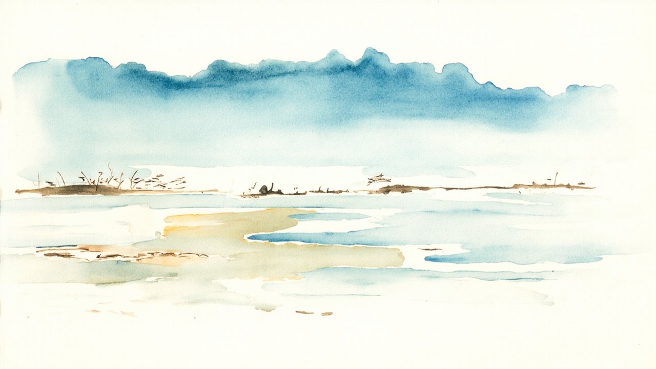
The General Directorate of Biodiversity, Forests and Desertification, under the Ministry for the Ecological Transition and the Demographic Challenge, has published in the Official State Gazette the updated technical and cartographic information on the wetland of international importance Las Tablas de Daimiel. The resolution, dated 31 July 2026, responds to the obligation of the States Parties to the Ramsar Convention to keep up to date the data on their sites listed in the List of Wetlands of International Importance.
The document, with reference BOE-A-2026-17909, is framed within Section III of the BOE No. 202, of 18 August 2026, and was signed by the Director General María Jesús Rodríguez de Sancho. It is published at the proposal of the General Directorate of Natural Environment and Biodiversity of the Autonomous Community of Castilla-La Mancha, with a favourable report from the Joint Commission for the Management of National Parks.
Regulatory framework: from the Ramsar Convention to COP Resolutions
The update derives from two resolutions adopted by the conferences of the parties to the Ramsar Convention, signed on 2 February 1971. Resolution VI.13 obliges member States to carry out periodic updates of the technical information on wetlands included in the List of International Importance. Resolution VIII.13 goes further and requires the submission of updated cartography in appropriate digital formats.
In application of these provisions, a process of modernisation of the technical and cartographic data of the Spanish wetlands listed in the Ramsar List was opened, coordinated by the Wetlands Committee of the State Commission for Natural Heritage and Biodiversity, regulated by Royal Decree 1424/2008, of 14 August. Las Tablas de Daimiel was designated a Ramsar site in 1982, in the very Instrument of Accession of Spain to the Convention, published in BOE No. 199, of 20 August 1982. That publication, due to its exceptional nature, only included the names of the sites without detailed technical or cartographic information.
Updated data: surface area, biodiversity and cartographic boundaries
The technical update includes new digital cartography of the boundaries of the site, generated from digital cartography files overlaid on digital terrain images, which has enabled the generation of new high-quality orthophotomaps. The surface area of the site is now set at 1,890.763 hectares, with a cartographic reference system of ETRS89, zone 30, and centroid coordinates located at 39° 08’ 42" N / 03° 42’ 27" W.
The updated technical sheet details that the site hosts at least 698 taxa with confirmed presence: 415 of flora and 283 of fauna. Among them, the following stand out:
- At least 4 species of wetland-associated flora considered threatened.
- 5 endemic wetland-associated taxa, with particular representation of the genus Limonium.
- 30 species of threatened wetland-associated fauna, including Marmaronetta angustirostris and Oxyura leucocephala.
- 13 endemic fauna taxa, with fish and amphibians playing a leading role.
- 11 types of habitats of community interest (Habitats Directive), 3 of which are priority.
Furthermore, more than 1% of the reference populations is exceeded in species such as Netta rufina, Grus grus (in winter) and Aythya nyroca (both in wintering and breeding).
A unique ecosystem under persistent threat
The Las Tablas de Daimiel wetland is the last representative of the ecosystem type known as “tablas,” once common in the region known as La Mancha Húmeda. It is a complex ecosystem that combines characteristics of a river floodplain —overflows from the Guadiana and Gigüela rivers— with a groundwater discharge area from aquifer 23, the Mancha Occidental I groundwater body.
The site, declared a National Park, is also part of the Natura 2000 Network, the La Mancha Húmeda Biosphere Reserve and the Spanish Inventory of Wetlands. However, it has been listed on the Montreux Record since 1990, the register of wetlands with significant alterations to their ecological characteristics, due to the notable alteration of its hydrology and its effects on the conservation status of the site.
The publication of this technical and cartographic update represents a milestone in the international management of one of Spain’s most emblematic wetlands, bringing its documentation up to the scientific and cartographic standards currently required by the global wetland protection convention.
Source: Official State Gazette (Boletín Oficial del Estado), No. 202, of 18 August 2026, Section III – Other Provisions, p. 115612 (official reference: BOE-A-2026-17909).