BOP de Las Palmas · 04 Sep 2026 · 7 vistas
Coasts initiates the demarcation of 6,744 meters of the Tinajo coastline
Por FactBox Admin
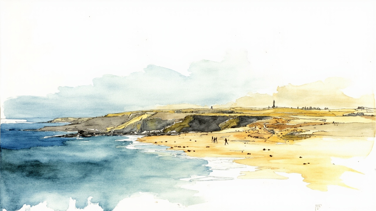
The Canary Islands Coastal Demarcation has initiated the boundary demarcation process for the maritime-terrestrial public domain assets of a coastal stretch of approximately 6,744 meters located between Los Risquetes and Boca Abajo, including the islet of La Santa, in the municipality of Tinajo, island of Lanzarote. The initiation was agreed upon by resolution on August 28, 2026, and is published in the Official Gazette of the Province of Las Palmas, number 106, dated September 4, 2026, on page 15497.
The announcement, registered under number 1819371, is part of the procedure provided for in article 21.2 of the General Coastal Regulations, approved by Royal Decree 876/2014, of October 10. The demarcation affects a stretch whose layout was approved by the Ministerial Order of October 30, 1986, and its purpose is to precisely establish the limits of the maritime-terrestrial public domain in this sector of the northern coast of Lanzarote.
Period for allegations
In accordance with coastal regulations, a period of one month is opened for any interested party to examine the file and submit any allegations they deem appropriate. The count begins the day following the publication of the announcement in the official gazette, that is, starting from September 5, 2026.
During this period, the file may be consulted at the following locations:
- Directorate General for the Coast and the Sea, of the Ministry for the Ecological Transition and the Demographic Challenge, at Plaza de San Juan de la Cruz, number 10, in Madrid.
- Offices of the Canary Islands Coastal Demarcation, at Explanada Tomás Quevedo, s/n, 35008 Las Palmas de Gran Canaria.
- Electronic headquarters of the Ministry, Coast and Marine Environment section, Public Participation subsection, at the link https://www.miteco.gob.es/es/costas/participacion-publica/35-des01-25-35-0003.html.
The hours for in-person consultation are from 09:00 to 14:00, on business days.
Scope of the demarcation
The file affects a coastal stretch of approximately 6,744 meters in length, spanning from Los Risquetes to Boca Abajo, and expressly includes the islet of La Santa, an enclave of special landscape and environmental value on the coast of Tinajo. The delimitation of these maritime-terrestrial public domain assets will determine the legal regime applicable to the affected lands, including permitted uses and protection easements.
The announcement is signed by the head of the Demarcation, Alberto Martín Coronel, and is processed under file number 35-des01-25-35-0003, identified in the Ministry’s public participation.
Relevance for residents
The initiation of this demarcation process has a direct impact on owners, concession holders, and users of the Tinajo coastline, as the final resolution will establish the exact boundaries of the public domain zone and, consequently, the conditions for the use of beaches, cliffs, and the islet of La Santa. Those who consider themselves affected must submit their allegations within a period of one month to assert their rights before the competent administration.
Source: Official Gazette of the Province of Las Palmas, number 106, September 4, 2026, section I (State Administration), page 15497 (official reference: 1819371).