Diario Oficial de Castilla-La Mancha · 28 Sep 2026 · 7 vistas
Partial demarcation of the Cerros Tontos forest in Mestanza approved
Por FactBox Admin
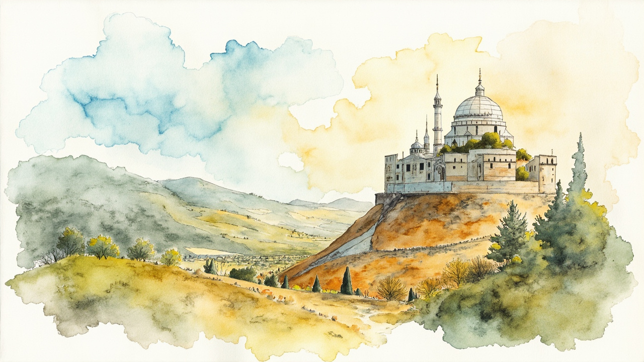
The Regional Ministry of Sustainable Development of Castilla-La Mancha has approved the partial demarcation of public utility forest number 74 “Cerros Tontos”, in the municipality of Mestanza (Ciudad Real), in execution of a judicial sentence. The resolution, signed on September 18, 2026, by the regional minister Mª Mercedes Gómez Rodríguez, is published in the Official Gazette of Castilla-La Mancha (DOCM) number 186, dated September 28, 2026, under reference [2026/6863]. The agreement sets the new public area of the forest at 273.93 hectares in favor of the Mestanza City Council.
The “Cerros Tontos” forest, number 74 of the Catalog of Public Utility Forests of the province of Ciudad Real, belongs to the Mestanza City Council and is located in said municipality, judicial district of Puertollano. It initially had a continuous area of 655 hectares, but the demarcation approved by the Resolution of November 11, 2009, of the Regional Ministry of Agriculture and Rural Development left the demarcated area at 390.53 hectares in favor of the council.
The origin of the new file is Sentence number 106/2019 of the Court of First Instance and Instruction number 7 of Ciudad Real, issued in the proceedings promoted by M.R.R. and M.J.R.P. against the Forestry Policy and Natural Spaces Service of the Regional Ministry of Agriculture and the Mestanza City Council. The sentence recognized the plaintiffs’ full ownership of the identified plots, set the affected area at 116.54 hectares according to the expert report of F.A.F.G. dated August 25, 2015, nullified the 2009 demarcation over those lands, and ordered the rectification of the registry entry. The processing is supported by article 82 of Decree 485/1962, of February 22, which approves the Forestry Regulations.
An area that drops from 655 to 273.93 hectares
The resolution orders the modification of the Catalog of Public Utility Forests of Ciudad Real with the following description:
- Province: Ciudad Real; municipality: Mestanza; judicial district: Puertollano.
- Catalog number: 74; name: “Cerros Tontos”; ownership: Mestanza City Council.
- Total public area: 273.93 hectares; landlocked area: 0 hectares.
- Plot A: 266.98 hectares, bordering to the north and east with private lands and the Tamujar Stream, to the south with private lands, and to the west with the Mangas Ravine, the Collado Verde Ravine, and private lands.
- Plot B: 5.59 hectares, surrounded by private estates.
- Plot C: 0.63 hectares, surrounded by private estates.
- Plot D: 0.73 hectares, surrounded by private estates.
- Species present: Quercus ilex, Quercus suber, Pinus pinea, and Pinus pinaster.
- No landlocked areas, easements, or encumbrances are recognized.
From the boundary marking to the public exhibition
The proceedings unfolded in several phases documented in the resolution itself:
- On June 18, 2025, the Provincial Delegation of Sustainable Development in Ciudad Real agreed to carry out the boundary demarcation and appointed Jesús Motos Martínez-Esparza as the operating engineer; on June 26, 2025, Adrián Martínez Roma was appointed as the substitute operating engineer.
- The announcement was published in DOCM number 123, dated June 30, 2025, page 22990, and the boundary survey was carried out on July 30, 2025, at 10:00 at the meeting point of Solanilla del Tamaral, attended only by the municipal representative.
- The public exhibition and hearing were announced in DOCM number 243, dated December 17, 2025, page 41864, with fifteen business days for viewing and another fifteen for claims.
- During the allegations period, no inquiries or claims were submitted, according to the certificate from the Provincial Secretary dated February 13, 2026.
- The Head of the Natural Environment Service issued a favorable report on March 3, 2026, and the Head of the Legal Service of the Department did the same on September 15, 2026.
Registry effects, boundary marking, and appeals
The resolution orders the transfer of the new data to the Property Registry of Almodóvar del Campo, where the forest is registered in favor of the Mestanza City Council under number 3237 (C.R.U.: 13004000411150), and the recording of a marginal note to the 3rd entry. Likewise, it stipulates that the boundary marking of the forest be carried out “as soon as possible.”
Against the resolution, which exhausts administrative remedies, a request for reversal (recurso de reposición) may be filed before the head of the Department of Sustainable Development within one month, or a contentious-administrative appeal may be filed before the Contentious-Administrative Chamber of the High Court of Justice of Castilla-La Mancha, based in Albacete, within two months.
The agreement closes a dispute lasting more than a decade and redefines the effective ownership of the forest: the Mestanza City Council retains 273.93 hectares of public area, while the 116.54 hectares judicially recognized are removed from the catalog in favor of the plaintiffs. The decision directly affects the owners of the adjacent estates and the boundaries of the municipal district, which are georeferenced in the attached topographic registry with UTM coordinates (ETRS89 datum, zone 30).
Source: Official Gazette of Castilla-La Mancha, no. 186, dated September 28, 2026, section III (Other Provisions and Acts), pp. 33050-33059 (official reference: 2026/6863).